Central Mediterranean To Be Hit With ‘Severe Gale Force’ Winds And ‘Six-Metre Waves’ Tomorrow As Polar Airmass Approaches

Brace yourselves: very strong winds could be hitting our tiny islands tomorrow… and it could end up being as strong as a severe gale!
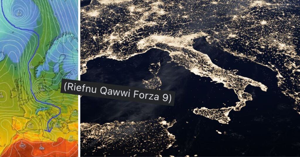
“An intense high pressure system over NW Europe will direct a polar airmass towards the Central Mediterranean triggering the formation of a low pressure system over Italy,” Malta Weather wrote earlier today. “The contrast between both systems will generate a hybrid Mistral-Bora wind (WNW veering NNW) over the Maltese Islands on Friday 19th April 2024 between 0600 and 2300 CEST dragging a much cooler and unstable airmass with them along with some isolated rain showers.”
View this post on Instagram
“Peak wind gusts could reach up to 82kmh (Severe Gale Force 9) in the afternoon,” the post by the local forecasting page continued. “Hence, ship services could be affected as sea waves could reach up to six metres and local damage is possible.
“Further wind episodes are set to continue although unfortunately the lack of rain will continue for Malta,” the forecast finished.”
Tag someone who needs to check this forecast out ASAP!