Meteotsunami Causes Flooding In Msida

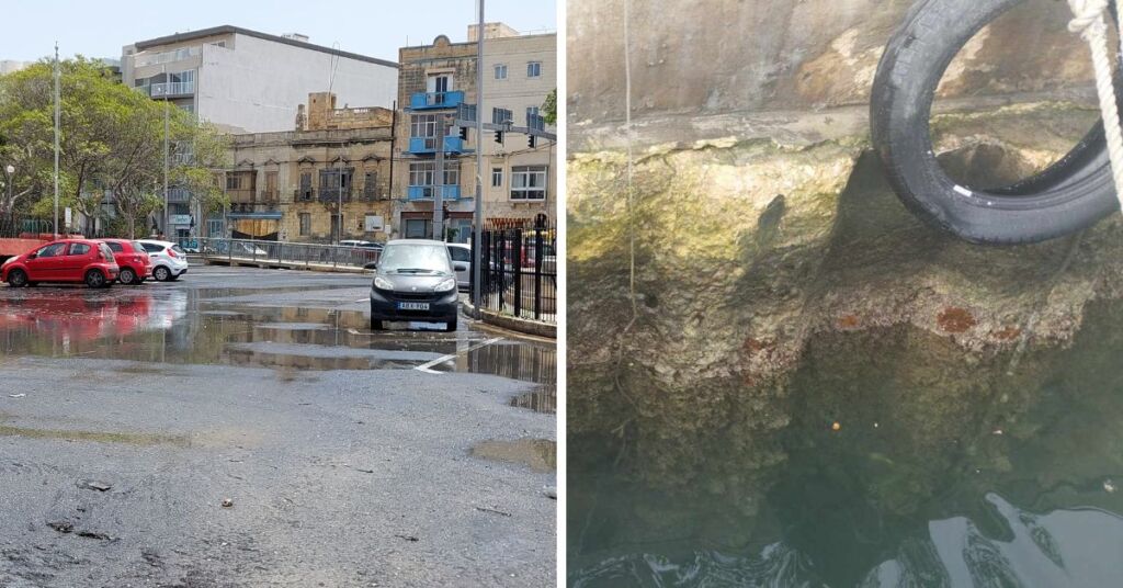
If you passed through Msida yesterday you may have noticed some flooding without the usual torrential rain that accompanies it, the reason for this was actually a meteotsunami.
Scientists from the University of Malta posted about the environmental phenomenon yesterday afternoon, saying this was triggered by rapid atmospheric pressure changes, often associated with severe weather.
The Oceanography Malta Research Group detected this event using cutting-edge sea level radars and atmospheric pressure sensors strategically placed along our coast. These instruments, installed as part of the Calypso South and @i-wave NET projects, supply vital data that help scientists monitor and understand the marine environment.
Meteotsunamis are generally smaller than seismic tsunamis. The pressure change creates a buckle in the surface of the ocean or a lake, which pushes out in all directions. Like their seismic counterparts, the waves produced by meteotsunamis become larger as they move into shallower water and approach the shoreline, where they often produce storm surges and rip currents.
The strongest recorded meteotsunami happened in 1978 in Croatia, with waves reaching a height of 5.9 metres.
Did you witness this meteotsunami? Send us your footage!